In my Shortest History of… books on Germany and England, I argue that the politics of both countries are deeply affected by their ancient boundaries. If you doubt this, glance at an electoral map of Germany today. Or consider that replacing the quintessentially southern Keir Starmer with Andy Burnham or Angela Rayner – both proud northerners – is clearly a desperate tribal instinct in Labour: abandon hope of national power, to preserve the core homeland.
Now I’ve written The Shortest History of Ireland, which is where you might expect the ancient boundaries stuff to stop. Because isn’t the divide there entirely colonial? Well, yes – and no.
The foundational act of the modern Irish state was fighting its way to statehood on the typical 19th/early 20th-century model, as also seen in Germany, Italy, Hungary, Poland, Finland, you name it. Escape from an empire into a unitary state with a national capital, a national language, a national museum and so on.
Seen through that lens, the outstanding block on absolute national union looks entirely colonial. But Ireland has a very different story that is genuinely its own (as opposed to being all about fighting the Crown). In that truly Irish story, historical geography is anything but bunk – and can, in fact, show the way to a future in which colonialism is genuinely washed away.
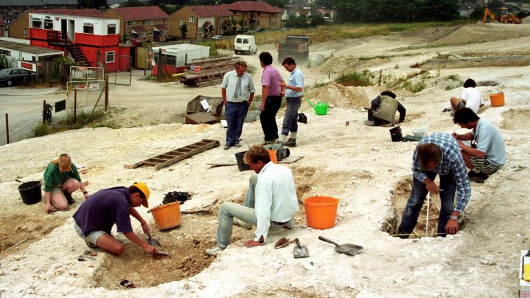
There were cultural-political variations on the island of Ireland at least 4,000 years before Henry II arrived. The first Irish farmers, Neolithic immigrants, shunned the vast, low-lying, deciduous forest of the great central plain. A winding, elevated trackway running through it, more or less along the line of today’s main Dublin-Galway road, seems to have become a soft border from very early on. Éamon de Valera’s son Rúaidhrí, Ireland’s senior archaeologist for two decades, repeatedly notes north-south differences in his monumental Survey of the Megalithic Tombs of Ireland.
Two or three millennia (and another vast migration) later, Ireland seems to have been divided into provinces rather like the modern ones, but still with an overarching north-south split: the vast majority of Ireland’s Iron Age artefacts come from north of the Eiscir Riada (the Ridge for Driving Herds) or just An t’Sligh Mhor (the Great Road).
Suggested Reading
Demolishing the myths of the Anglo-Saxons
Every Gaelic historian, poet, and lawyer right up to the deluge of the 17th century took it as axiomatic that Ireland was divided into Leath Cuinn (Conn’s half) and Leath Moga (Mug’s half). The High Kingship was a sort of medieval federalism which recognised these divides: each province retained its royal family, any member of which, once successfully installed in their own kingdom, then paramount in their own “half”, could bid to be next High King.
And this system worked. Late Anglo-Saxon England, which was more like a modern nation-state, disappeared for ever after a single middle-size battle in 1066; Gaelic Ireland resisted so successfully that the Normans immediately began to intermarry and by the second half of the 15th century had become almost entirely assimilated.
In 1459 and 1487, Irish armies invaded England, trying to ensure regime change in favour of the Yorkists, who recognised Ireland’s independence in 1461. It’s strange that this is now so forgotten, considering that Shakespeare refers to it in Henry VI: “The Duke of York is newly come from Ireland/ And with a puissant and a mighty power/Of gallowglasses and stout kerns/ Is marching hitherward in proud array.”
Then began a new story: Ireland became the first overseas victim of that brand-new England born in the later 16th century. Resistance was finally crushed with the near-genocide of the Cromwellian re-invasion.
Land grabs now erased the old divides and replaced them with a new, entirely colonial, geography. The overwhelming difference was now east-west: between areas where commercial farming and cottage industry were entirely aimed at British markets, and those where the Irish peasantry subsisted on potatoes. This divide created the Great Famine.
Despite the war of independence, it continues to plague Ireland, and not just in terms of partition. Dublin so dominates that Ireland is officially the most centralised of all EU countries – while in 2019 the entire north-west was downgraded from a “transition region” to a “less-developed region”.
It turns out that Ireland is a classic case for deep history. Looking back beyond the colonial and postcolonial years suggests that federation is the natural political structure of the island.
And that opens the door to a future in which acknowledging that the north-east – now called Northern Ireland – has its own history will simply be part and parcel of recognising that every part of Ireland has always had its own history.
The Shortest History of Ireland is published by Old Street
James Hawes is a novelist turned historian